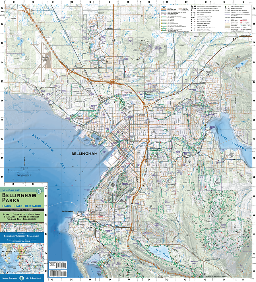
Bellingham Parks
Charles B. Kitterman
Square One Map Company
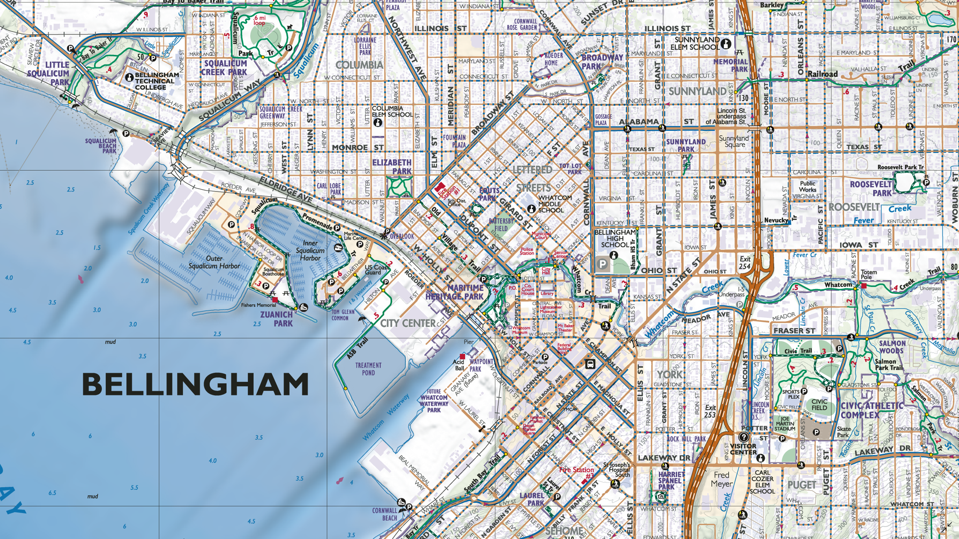
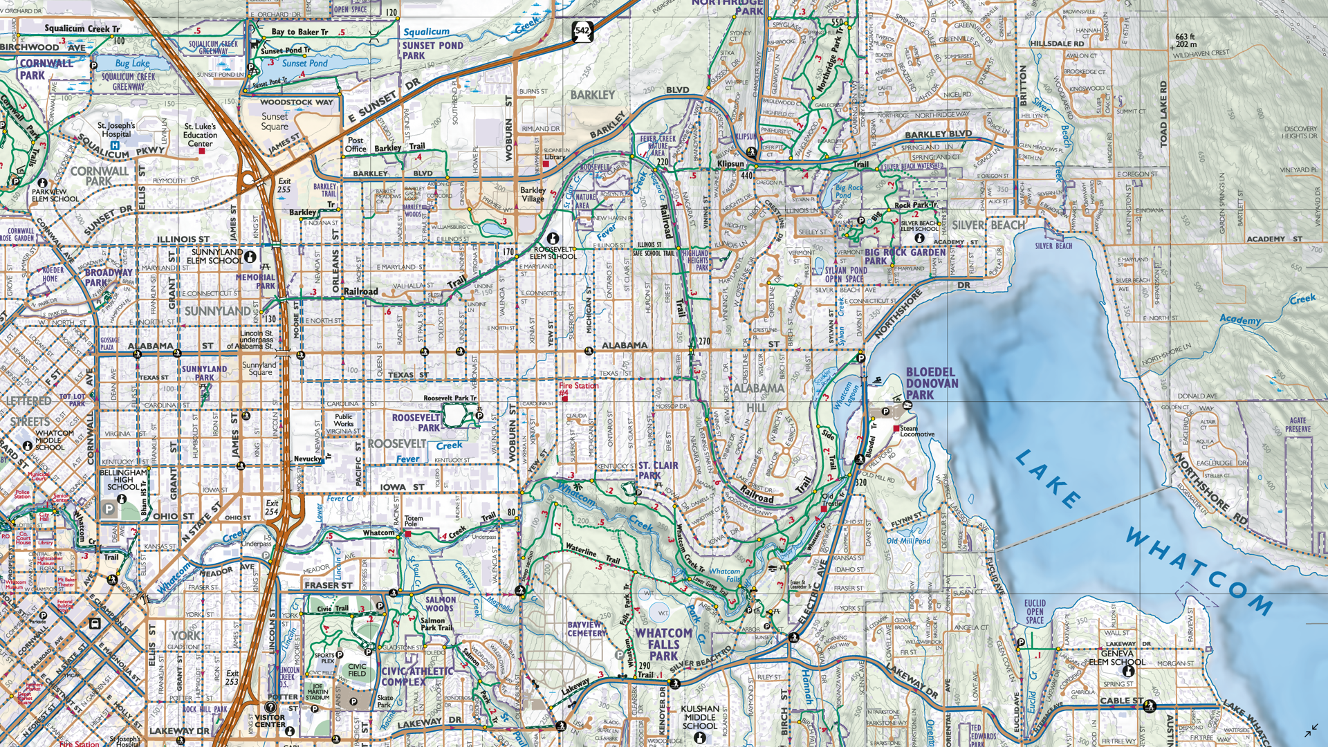
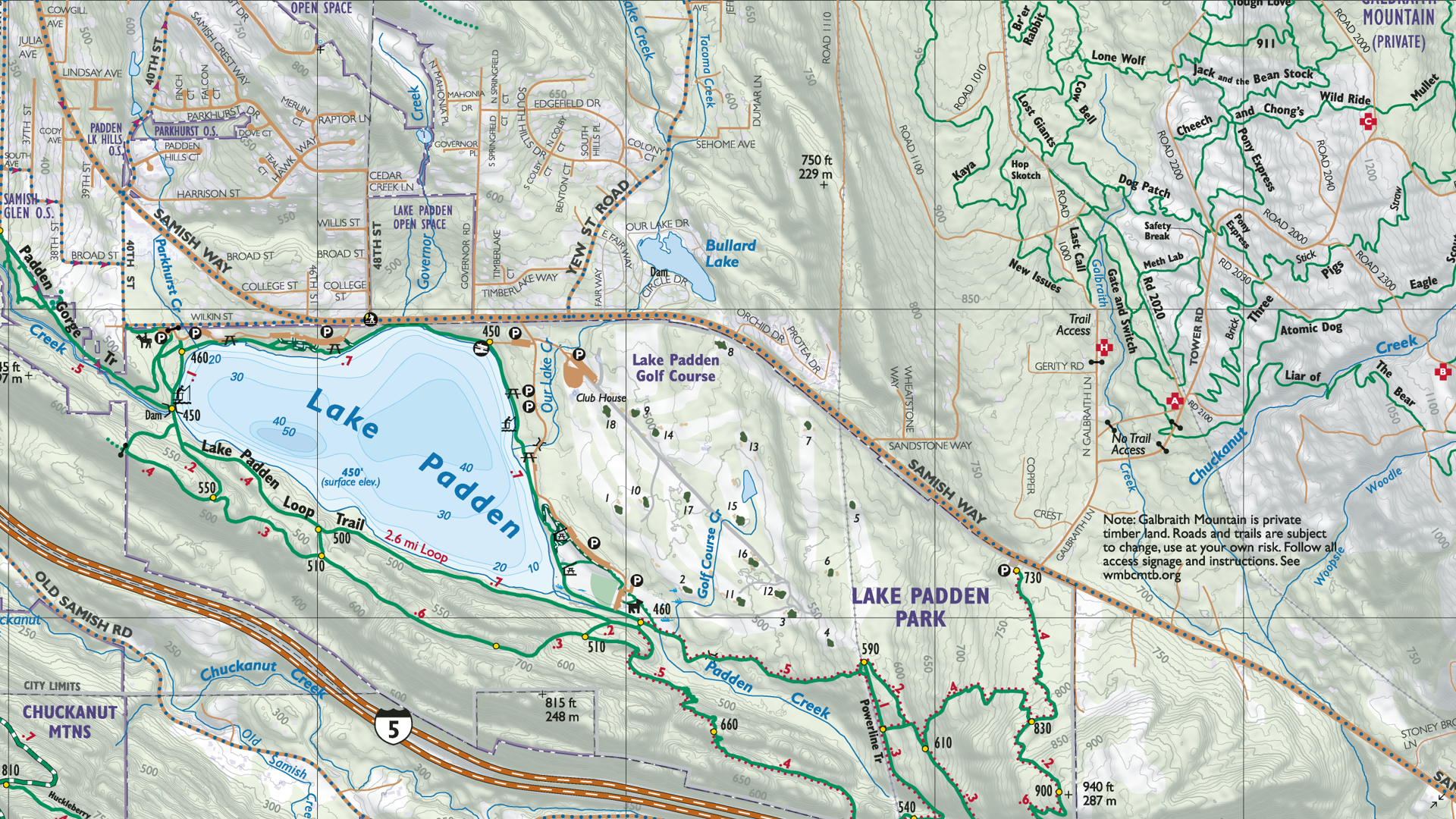
The Bellingham Parks map is a full-featured recreation map showing all parks, open spaces, and greenways in the greater City of Bellingham, WA. The map is intended to show all outdoor recreation opportunities and sports activities within Bellingham’s extensive parks and trails network.
Park facilities are listed in chart form for easy lookup. Transportation features include all trails, roads, bike lanes, and routes. Topography is based on Lidar data from the City of Bellingham GIS and is used for shaded relief and contours. Bathymetric representation is shown for Puget Sound and Lake Whatcom.