Extensive Geospatial Image Support
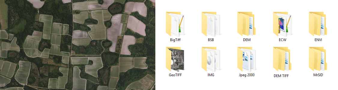
Any image format that can be opened and displayed by Adobe Photoshop can form the basis for a spatial image. Import industry-used spatial images formats such as GeoTIFF, MrSID, NITF, PCI and more. Import digital elevation formats such as Esri GRID, BIL, USGS DEM and more. See all supported formats.