True Spatial-Awareness
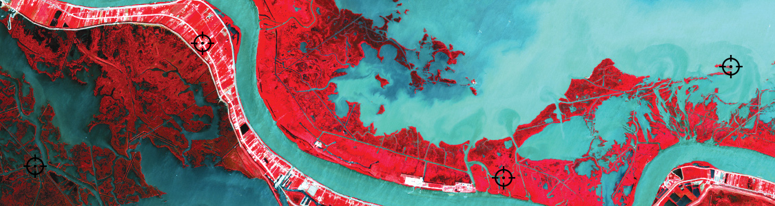
Georeference images easily by adding control points and assigning world coordinates interactively. Review residual errors and detect coordinate system to reference and rectify images. Manually add control points, import or export points from a text file, and view accuracy and errors. Use the Quick Georeference option to make georeferencing even easier.