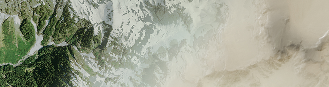
Dynamically Control DEM Shading
Import DEM formats such as BIL, USGS DEM, Esri GRID, Military Elevation Data/DTED, SRTM and more. Assign a DEM Schema during import for easier rendering and create shaded relief maps quickly and easily using the Terrain Shader feature. Control intensity and lighting source. Define elevation intervals for custom colour ramps.