


Avenza Blog
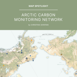
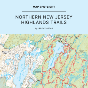
In our first Map Spotlight of the year, we are showcasing the winner of the…
We are excited to announce that the 2023 Avenza Map Contest has now concluded. This…

Géom@tique was founded at the end of the 1990s by introducing, for France and French-speaking…
Sometimes we know enough about an image to georeference it in a faster manner than…
We are very excited to announce the release of MAPublisher version 11.3, the latest version…
In this Map Spotlight, we are highlighting a submission from the 2021 Avenza Map Contest:…

Getting started with MAPublisher can be a daunting task, especially if you don’t have a…
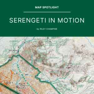
In the Map Spotlight this time, we are highlighting a submission from the 2021 Avenza…
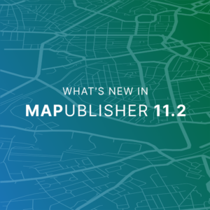
We are very excited to announce the release of MAPublisher version 11.2, the latest version…
- « Previous Page
- 1
- 2
- 3
- 4
- 5
- 6
- …
- 26
- Next Page »