


Avenza Maps version 3.9 is now available for users on iOS and Android devices! We have added features for both our recreational and Pro subscription users and made some improvements based on user feedback. This update of Avenza Maps includes some great features including the integration of what3words. Now anyone can identify their location by simply using three words. This is a very useful feature for recreational and outdoor enthusiasts as well as professionals who use Avenza Maps in remote locations. You can find the what3words for any 3m square in the world on any map. Here are more new features in this release:
GPX Import (Pro and Plus)
Hurray! Pro and Plus users can now import GPX files. Our users have been asking for it and now GPX files containing tracks, routes, and waypoints can be imported onto any map.
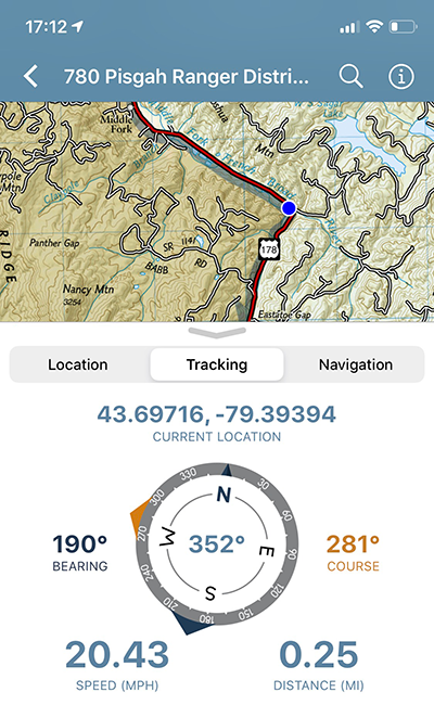
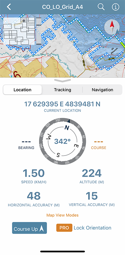
Course-Up Map View Mode
When Course-up is enabled on the Location tab, the map view automatically rotates in accordance with your direction of travel.
Registration Links (Pro)
Avenza Maps Pro admins can distribute Registration Links to field users who can interact with them to automatically register for Avenza Maps Pro with their organization.
New Coordinate Display Formats
Several new coordinate formats are now available in Avenza Maps, including what3words, British National Grid (a Pro feature with a limited preview for all users), and Universal Transverse Mercator.
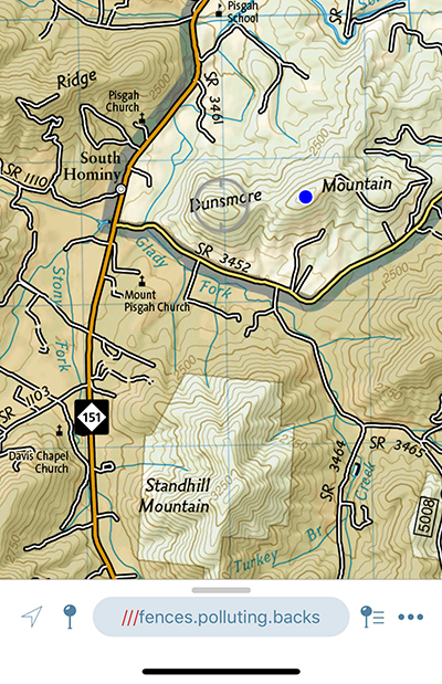
what3words is live in Avenza Maps and has given every 3m square in the world a unique 3 word address, making it easier for people to communicate precise locations. With the new what3words feature you can set accurate waypoints, plot your favourite points along hiking trails or cycling routes and identify your own location – using just three words. supply.founders.outreach, for example, is the 3-word address for the front entrance to Avenza Systems’ head office in Midtown, Toronto. The what3words location is included in every placemark dropped on a map and can be copied and shared.
Learn more about how what3words is integrated into Avenza Maps on avenzamaps.com.
There are some big changes and improvements in this version of the app and we’re very excited about it. Our goal is always to ensure that Avenza Maps users can navigate safely, track efficiently, and collect data even more precisely in the app.