


Avenza Blog
Updated: August 6, 2015 – New URL syntax for QR codes Delivering mobile maps just became…
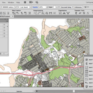
The new MAPublisher 8.7 Georeferencer is a fast, easy, and accurate way to update your…
As we have all seen over the last decade, the distribution and consumption of music,…
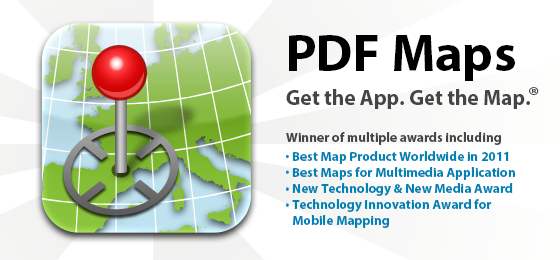
[Video archived] Ted Florence provides a demonstration of the PDF Maps app for iPad. He…
After creating a map with MAPublisher or Geographic Imager, you might want to export it…
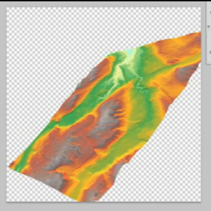
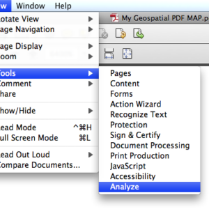
PLEASE NOTE: As of Photoshop 22.5, Adobe has discontinued support for the program’s 3D features….
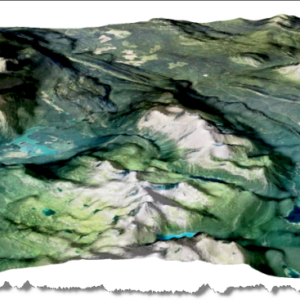
PLEASE NOTE: As of Photoshop 22.5, Adobe has discontinued support for the program’s 3D features….
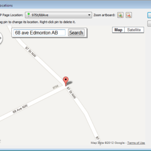
Edit: Updated with a new QGIS workflow (November 21, 2014) The following tip is courtesy…
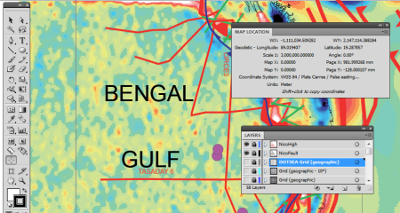
Adobe Illustrator documents with GIS data can be exported to georeferenced PDF files thanks to…
- « Previous Page
- 1
- …
- 20
- 21
- 22
- 23
- 24
- …
- 26
- Next Page »