The world’s largest digital map store
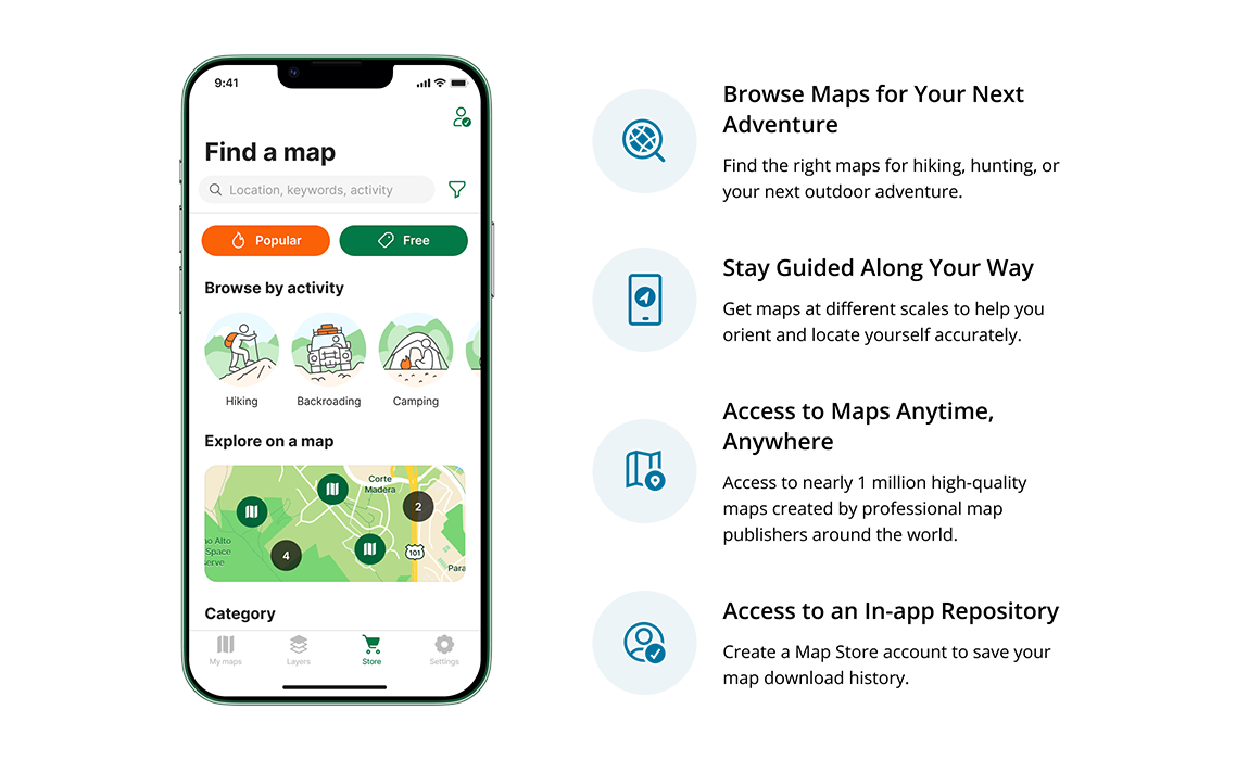
Browse or search for maps in the Avenza Map Store in the app or on the web. Download maps to your device to use when you are offline.

Browse or search for maps in the Avenza Map Store in the app or on the web. Download maps to your device to use when you are offline. Maintain data attributes from FME to MAPublisher to use them with Adobe Illustrator templates containing MAP Theme stylesheets. MAP layers are auto-assigned and styles are automatically applied to matching layers and attributes. It really can’t be any easier. Open a map from the Avenza Map Store or upload one of your own and locate yourself on it using your device’s GPS. Use map tools such as Record GPS Tracks to record your activity on your next adventure. All of our maps work offline without the internet. Working with geospatial data doesn’t have to be rigid. MAPublisher offers plenty of flexibility when editing map features in Adobe Illustrator. Create new features on-the-fly, maintain georeferencing when joining data, cropping, trimming, buffering, and simplifying. Map documents generated using MAPublisher FME Auto contain MAP Views, MAP Layers, spatial coordinate systems and data attributes – everything you need to finalize the map design with MAPublisher cartography tools. Extend uses for your maps by converting to them to Flash with MAP Web Author or export to geospatial PDF and take them mobile with Avenza Maps. Save time by styling map data based on its attributes. Use MAP Themes to create thematic maps, designate point symbols, and apply graphic styles based on rules that you create. Create labels based on data attributes. Use the Label Features tool to place labels to map features automatically and fine-tune labeling with the MAP Tagger and Contour Tagger tools. MAPublisher LabelPro™ pairs advanced rules to a sophisticated labeling engine for more efficient and intelligent label placement. Purchase the MAPublisher LabelPro™ as an add-on to any MAPublisher license. Create visually stunning maps that are print-ready. Need to go digital? Export geospatial PDF that contain coordinate system and attribute information. Need a web map? Export your maps using MAP Web Author to create HTML5-compatible web maps without coding knowledge. Take it mobile by exporting map packages compatible with the Avenza Maps app. See all supported export formats.Browse the Map Store
The world’s largest digital map store
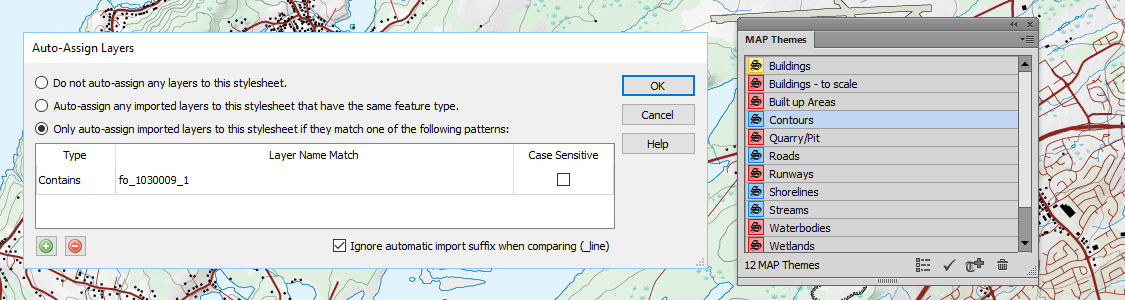
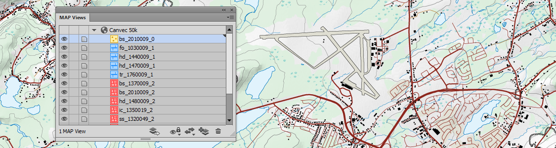
Automate
Automatically style data based on attributes and MAP Themes
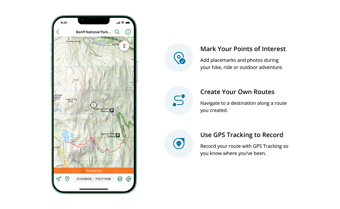
View the map
Roam without roaming
Geoprocess
Treat Spatial Data Like Works of Art
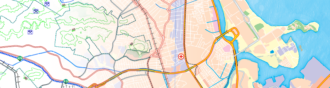
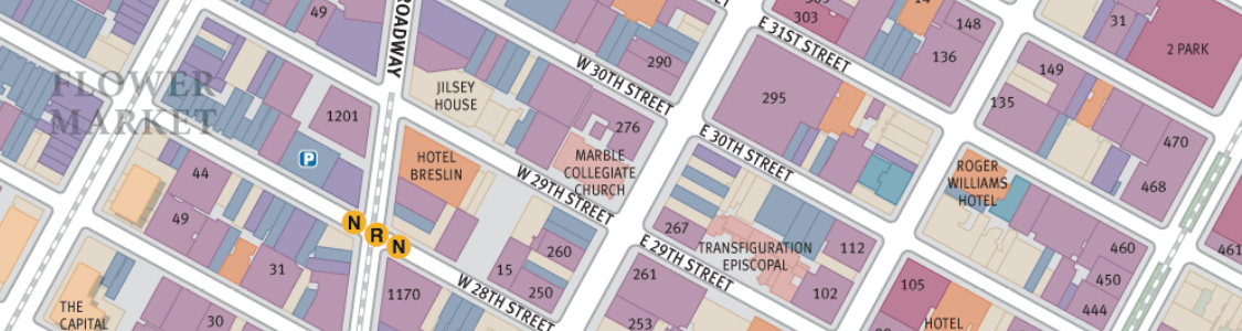
Design
Ready to design and produce high-quality maps
Design
Design Smarter, Not Harder
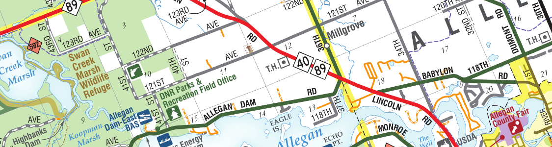
Label
Precise Label Placement
Export
Export What You Want, Where You Want
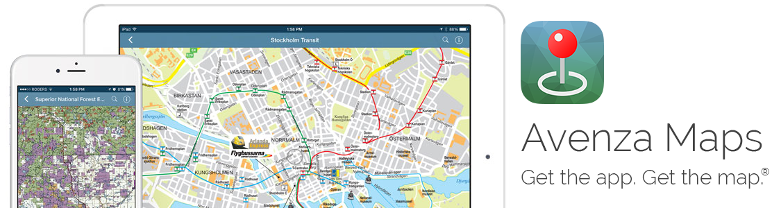
Go to Avenza Maps.com
See more at the Avenza Maps portal, including more app features and subscription details.
![]()
Free Trial
Try MAPublisher and Geographic Imager today for free.
Start mapping with a full-featured 14-day trial.