


Avenza Blog
Making maps is a fairly common request made of graphic designers. After all, graphic design…
Kim Beckmann is a storyteller above all else. As a graphic designer and Associate Professor…
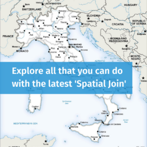
By Olly Normanton, QA Specialist This is one feature we have all been waiting for….
MAPublisher 10.6 has now been released and we are very excited to share these powerful…
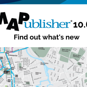
Continued Compatibility with Adobe 2020 Both Windows (64-bit) and Mac users can explore the exciting…
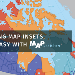
To tell the complete story, we added insets of the major urban areas around the…
Avenza Maps version 3.9 is now available for users on iOS and Android devices! We have…
Many of our MAPublisher clients are cartographers and GIS professionals, but a growing number are…
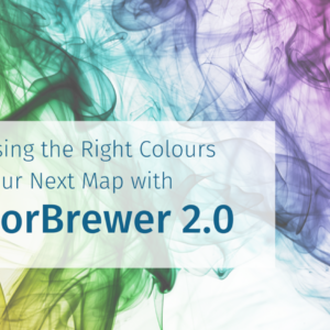
One of the most difficult steps in map design is choosing an appropriate colour scheme…
- « Previous Page
- 1
- …
- 9
- 10
- 11
- 12
- 13
- …
- 26
- Next Page »