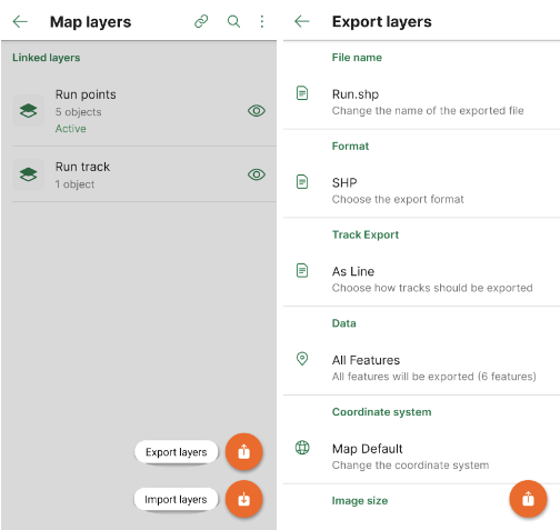
With over 20 years of GIS experience, Marikka Williams is well-versed in spatial data and the mapping technologies used to visualize it. Last summer, she applied these skills while exploring Canoe Lake in Algonquin Provincial Park on a stand up paddle board (SUP), using the Avenza Maps app to track her offline adventure. Later, she imported her data into MAPublisher to create a custom memory map of her excursion. She shared her process at this year’s Avenza User Conference.
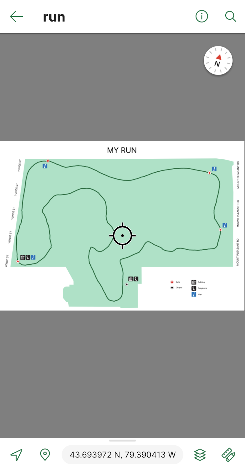
In her presentation, Marikka walked us through each step of her map-making process. She began by collecting points of interest during her journey, adding placemarks along her route using the Avenza Maps app. Afterward, she exported the data as a KML file, then imported it into MAPublisher for further enhancement. Marikka showcased various MAPublisher tools, such as the MAP View Editor, Stylesheet Themes, and the MAPublisher LabelPro add-on, which she used to bring her map to life. She further enriched her work with Geographic Imager, using recent Landsat imagery to add depth and accuracy to her map, verifying her vector data against real-world details. At the end of her presentation, Marikka shared her final cartographic product with us!
Check out the full video of Marikka’s presentation at Avenza UC 2024!
About Avenza UC
The Avenza User Conference is an opportunity to discover exciting new developments with Avenza’s GIS and cartographic solutions and to connect with peers and Avenza team members. Avenza users and staffers from around the globe meet virtually each May to learn what’s new with Avenza Maps, MAPublisher, Geographic Imager, and the Avenza Map Store, and see how they are being used to map our world.
The Avenza User Conference is an free annual event that grows each year with incredible speakers and participants. Get inspired by mapping and industry professionals by joining us for #AvenzaUC2025. Find more information here about next year’s conference taking place on May 8th, 2025.