My Account     Contact Us     Cart

Articles

Tile

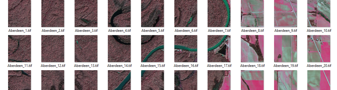
Tile Faster Than Saying “Tile”

Tile an image into multiple images by tile size or count and automatically save them using sequential naming. Image tiles retain spatial referencing making it ideal to import into MAPublisher and other third-party applications without any trouble.

tile

Style

Dynamically Control DEM Shading

Import DEM formats such as BIL, USGS DEM, Esri GRID, Military Elevation Data/DTED, SRTM and more. Assign a DEM Schema during import for easier rendering and create shaded relief maps quickly and easily using the Terrain Shader feature. Control intensity and lighting source. Define elevation intervals for custom colour ramps.

terrain

Export

Export, Share, Use

Save spatial images to many industry-standard formats including GeoTIFF and MrSID. Export to web tiles to generate images that are compatible with Google Maps, OpenStreetMap, MapBox and more. Quick Save feature allows you to quickly save to popular geospatial formats including geospatial PDF. See a complete list of supported formats.

webmap

Browse the Map Store

The world’s largest digital map store

Browse or search for maps in the Avenza Map Store in the app or on the web. Download maps to your device to use when you are offline.

Automate

Automatically style data based on attributes and MAP Themes

Maintain data attributes from FME to MAPublisher to use them with Adobe Illustrator templates containing MAP Theme stylesheets. MAP layers are auto-assigned and styles are automatically applied to matching layers and attributes. It really can’t be any easier.

View the map

Roam without roaming

Open a map from the Avenza Map Store or upload one of your own and locate yourself on it using your device’s GPS. Use map tools such as Record GPS Tracks to record your activity on your next adventure. All of our maps work offline without the internet.

Geoprocess

Treat Spatial Data Like Works of Art

Working with geospatial data doesn’t have to be rigid. MAPublisher offers plenty of flexibility when editing map features in Adobe Illustrator. Create new features on-the-fly, maintain georeferencing when joining data, cropping, trimming, buffering, and simplifying.

MAPublisher geoprocessing

Design

Ready to design and produce high-quality maps

Map documents generated using MAPublisher FME Auto contain MAP Views, MAP Layers, spatial coordinate systems and data attributes – everything you need to finalize the map design with MAPublisher cartography tools. Extend uses for your maps by converting to them to Flash with MAP Web Author or export to geospatial PDF and take them mobile with Avenza Maps.

Design

Design Smarter, Not Harder

Save time by styling map data based on its attributes. Use MAP Themes to create thematic maps, designate point symbols, and apply graphic styles based on rules that you create.

design

Label

Precise Label Placement

Create labels based on data attributes. Use the Label Features tool to place labels to map features automatically and fine-tune labeling with the MAP Tagger and Contour Tagger tools. MAPublisher LabelPro™ pairs advanced rules to a sophisticated labeling engine for more efficient and intelligent label placement. Purchase the MAPublisher LabelPro™ as an add-on to any MAPublisher license.

MAPublisher label features

News Archive