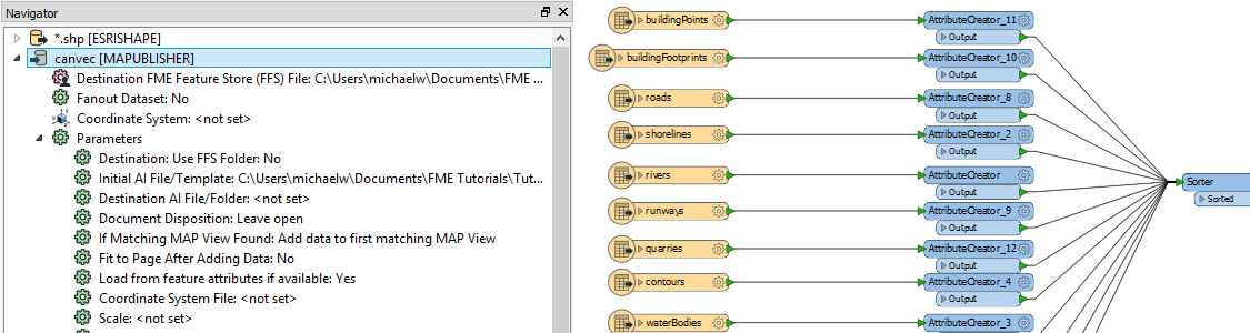
The Adobe Illustrator – MAPublisher writer in FME has many configurable parameters to customize the import process. Import your data to template files to reduce repetitive mapping.
Articles
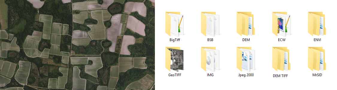
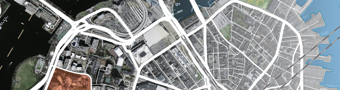
MAPublisher is available on Mac and Windows and is compatible with the latest Adobe Illustrator release, ensuring the latest graphic design tools are at your disposal. Licenses available as both fixed single and floating. Floating licenses are cost-effective for any commercial, academic, or non-profit organization. Spatial imaging tools When Map Quality Matters® Download the free Avenza Maps app from these app stores Any image format that can be opened and displayed by Adobe Photoshop can form the basis for a spatial image. Import industry-used spatial images formats such as GeoTIFF, MrSID, NITF, PCI and more. Import digital elevation formats such as Esri GRID, BIL, USGS DEM and more. See all supported formats. Import leading GIS industry formats from Esri, Google, MapInfo, WFS/WMS services, and other GIS sources with all attributes and georeferencing intact and fully editable. See all supported import formats. MAPublisher FME Auto (Windows only) provides FME Desktop with an Adobe Illustrator – MAPublisher writer. In FME Desktop, use the writer to translate GIS data formats for use with MAPublisher. Create workflows in FME and then use pre-designed Adobe Illustrator templates, auto-assigned layers, and prepared MAP Themes to generate maps.
Highly Compatible
Product Callout
for Adobe Photoshop®Product Callout
Product Callout
Product Callout
Download the app
Available on iOS and Android
![]()
![]()

Import
Extensive Geospatial Image Support
Import
Extensive Geospatial Format Support
Configuration
Translate data from FME to Adobe Illustrator