We are very excited to announce the release of MAPublisher 10.9, our latest version of the MAPublisher extension for Adobe Illustrator.
With MAPublisher 10.9, we are bringing forward full compatibility with Adobe Illustrator 2022, Windows 11, macOS 12, support for Vector GeoPackages and TopoJSON data formats, improvements to the Buffer Art tool, and several bug fixes.
Here’s what you can expect with the latest MAPublisher 10.9 release:
Compatibility with Adobe Illustrator 2022, Windows 11, and macOS 12
We want to ensure our users enjoy a truly seamless experience with the Adobe Illustrator workspace. Our team has worked to ensure that MAPublisher 10.9 is fully compatible with Adobe Illustrator 2022 that was announced at Adobe Max last week.
MAPublisher 10.9 is also fully compatible with the newly released Windows 11, as well as macOS 12 Monterey.
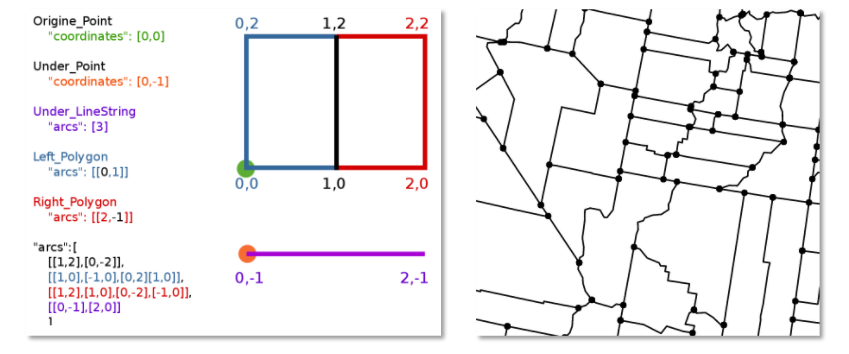
Import TopoJSON data
New to MAPublisher 10.9 is the ability to import TopoJSON type data formats directly into Adobe Illustrator. A TopoJSON is built off the GeoJSON data format in a way that encodes topology. Geometries in TopoJSON files are collected together from shared line segments called arcs. In this way, TopoJSON data formats can reduce redundancies and improve storage efficiency for spatial data.
Import and Export Vector GeoPackages
Many of our users have requested the ability to import and export vector GeoPackage data. We are happy to announce the full support of vector GeoPackages is now offered with MAPublisher 10.9. Vector GeoPackages are based on SQLite databases and offer an open-source, compact, lightweight, and flexible data format for easy and efficient storage or geoprocessing of spatial data.
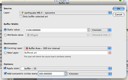
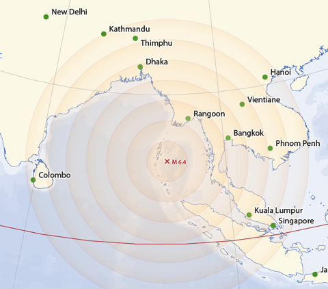
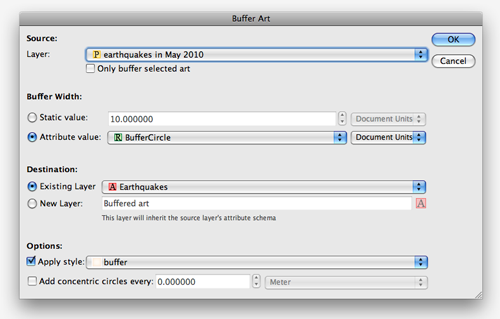
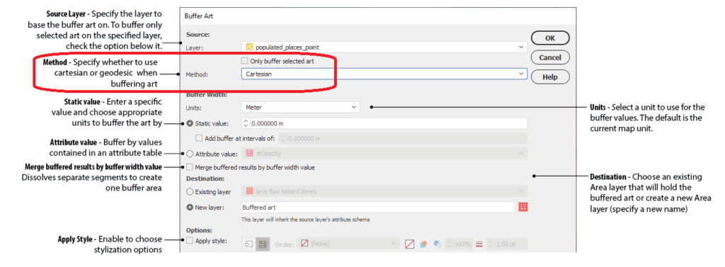
Geodesic Options for the Buffer Art Tool
Geodesic options are now available for the Buffer Art tool. This functionality will provide more accurate distance buffers for point data when working on features distant from lines of true scale. Find this option in the “method” section of the Buffer Art tool.
Default Data filters and Styles on import
MAPublisher 10.9 users can create unique data filters and style settings that can be automatically applied to newly imported data in MAPublisher.
Changes to Compatibility
Avenza announces that compatibility support is changing for its desktop mapping software. Starting with MAPublisher 10.9, both Windows 7 and Adobe CS6 will no longer be supported. Users will require a valid Adobe Creative Cloud subscription and a compatible operating system to utilize the improvements and enhancements offered in MAPublisher 10.9. For questions and more information on how these changes around compatibility may affect your organization, please contact our Support Centre.
MAPublisher 10.9 is immediately available today, free of charge to all current MAPublisher users with active maintenance subscriptions and as an upgrade for non-maintenance users.
Enter the Avenza Map Competition!
The Avenza Map Competition is live! Enter our map competition for a chance to showcase your favourite maps with the Avenza community and win prizes! The competition consists of two categories: “Open” and “Student”, with two sets of exciting prizes. Submit your Map today!